Geospatial Data Analyses & Remote Sensing: 5 Courses in 1
Remote Sensing, QGIS & GIS , main concepts, machine learning, QGIS classification, change detection, Earth Engine

- Description
- Curriculum
- FAQ
- Reviews
Geospatial Analyses & Remote Sensing : from Beginner to Pro
Are you struggling to create GIS or satellite imagery-based maps for your Remote Sensing or GIS project? Do terms like Remote Sensing object-based image analysis, machine learning, QGIS, or Google Earth Engine sound daunting? Are you seeking a practical course that guides you through the concepts and helps you embark on real-life GIS mapping projects?
Welcome to our Practical Geospatial Masterclass, combining the content of four separate courses into one comprehensive learning experience. With over nine hours of video content, hands-on exercises, and downloadable materials, this course equips you with the knowledge and skills required for practical geospatial analysis. You’ll learn to perform tasks such as land use and land cover mapping, change detection, machine learning for GIS, data manipulation, and map creation, all using popular and FREE software tools.
Course Highlights:
-
Comprehensive theoretical and practical geospatial knowledge
-
Application of Machine Learning in GIS and Remote Sensing
-
Land use and land cover mapping
-
Object-based image analysis
-
Data processing and map creation
-
Practical exercises with QGIS and Google Earth Engine
Course Focus:
This masterclass is designed to empower you with both theoretical and practical geospatial analysis skills, covering Remote Sensing, Geographic Information Systems (GIS), and Machine Learning applications in GIS and Remote Sensing technology. By course completion, you’ll have a strong understanding of Remote Sensing and GIS fundamentals, Machine Learning applications in geospatial tasks, and the use of Machine Learning algorithms for land use and land cover mapping and object-based image analysis. Additionally, you’ll be well-prepared to perform geospatial and Remote Sensing analysis using open source and free software tools.
What You’ll Learn:
-
Practical use of Machine Learning algorithms in QGIS
-
Downloading and processing satellite imagery
-
Supervised and unsupervised learning
-
Accuracy assessment and change detection
-
Object-based image analysis
-
Cloud computing and Big Data analysis using Google Earth Engine
Who Should Enroll:
This course is ideal for professionals including geographers, programmers, social scientists, geologists, GIS & Remote Sensing experts, and anyone seeking to enhance their GIS and Remote Sensing skills. Whether you’re a novice or looking to advance your knowledge in Machine Learning for GIS and Remote Sensing, this course provides the confidence and skills needed to tackle geospatial challenges.
INCLUDED IN THE COURSE: Gain access to precise instructions, downloadable practical materials, scripts, and datasets for hands-on geospatial analysis using QGIS and Google Earth Engine. Enroll today to unlock the power of practical geospatial analysis!
Software used in this course
Basics of GIS
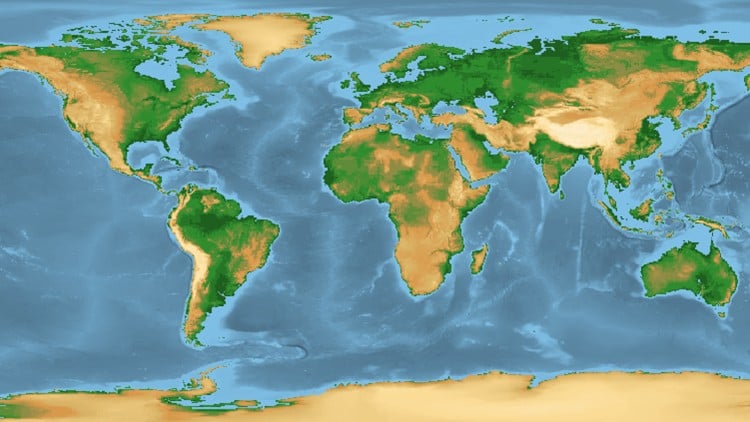
Introduction to Remote Sensing
Basics of land use and land cover (LULC) mapping and change detection in QGIS
-
15
 Definition of Remote Sensing
 -
16
Introduction to digital images
-
17
Sensors and Platforms
-
18
Understanding Remote Sensing for LULC mapping
-
19
Lab: How to download satellite images with SCP plug-in
-
20
Lab: Layerstacking, True and False Colour composites
-
21
Lab: Image preprocessing - atmospheric correction
-
22
Sources of Remote Sensing images
Image Classification in Google Earth Engine
-
23
Introduction to LULC classification based on satellite images
-
24
Supervised and unsupervised image classification
-
25
Unsupervised (K-means) image analysis in QGIS
-
26
Stages of LULC supervised classification
-
27
Lab: Training data collection
-
28
Overview of image classification algorrithms
-
29
Lab: LULC with the use of spectral angle mapping
-
30
Lab: LULC with the use of Maximum Likelihood Algorithm
-
31
Lab: LULC with the use of Minimum Distance Classification Algorithm
-
32
Accuracy assessment of LULC map
-
33
Lab: Validation data creation
-
34
Lab: Accuracy Assessment
-
35
Project: LULC mapping of Landsat 8
Introduction to change detection
Introduction to Machine Learning in GIS
Machine Learning and Object-based Analysis (OBIA) in GIS: an example of crop map
-
44
Introduction to Machine Learning
During this lecture, I’m going to explain what ML is, the types of machine learning algorithms, and when you should use each of them.
-
45
On Machine Learning in GIS and Remote Sensing
During this video lecture, I’m going to explain the application of machine learning (ML) algorithms in GIS and Remote Sensing, types of ML applications in GIS and I will provide you with some practical examples.
-
46
Supervised and Unsupervised Learning (classification) in GIS and Remote Sensing
During this lecture, we are going to learn about image classification and ist types. Here we will talk about the supervised and unsupervised learning in the context of GIS and I also provide you with workable examples.
-
47
Object detection in GIS
During this video lecture, we are going to continue exploring types of machine learning and today we are going to talk about object detection in GIS. I will provide you with an overview of how it works and I will demonstrate this with the practical examples.
-
48
Segmentation and object-based image analysis (OBIA)
In this video, I will introduce you to the term segmentation and object-based image analysis and explain to you the advantage of this approach as opposed to more traditional pixel-based image analysis.
-
49
Prediction in GIS and deep learning for Big Data Analysis
Prediction is an important part of GIS applications that use Machine Learning and AI. In this video lecture, I will introduce you to the notion of prediction modeling in GIS and equip you with the main types of prediction models used in GIS. Finally, we are going to talk about the new developments in AI and Machine Learning in GIS and Remote Sensing including deep learning for Big Data analysis.
-
50
Project: Machine Learning for GIS on cloud (Google Earth Engine)
Machine Learning and Object-based Analysis (OBIA) in GIS: part 2
-
51
OTB installation
-
52
Object-based image classification (OBIA) VS pixel-based image classification
-
53
Introduction to object-based crop type classification in QGIS
-
54
Feature Extraction for object-based crop classification
-
55
Training of Machine learning Classifiers for object-based crop classification
-
56
Object-based crop classification with Machine Learning algorithms in QGIS
Object-based crop classification with Machine Learning algorithms in QGIS
How long do I have access to the course materials?
You can view and review the lecture materials indefinitely, like an on-demand channel.
Can I take my courses with me wherever I go?
Definitely! If you have an internet connection, courses on Udemy are available on any device at any time. If you don't have an internet connection, some instructors also let their students download course lectures. That's up to the instructor though, so make sure you get on their good side!
Stars 5
171
Stars 4
103
Stars 3
57
Stars 2
11
Stars 1
8
Course details
Video
9 hours
Lectures
3
Certificate of Completion
Popular courses

Social Network