ArcGIS Pro - Learn easy!
- Description
- Curriculum
- FAQ
- Reviews

Learn how to use the tools provided by ArcGIS Pro, starting from scratch.
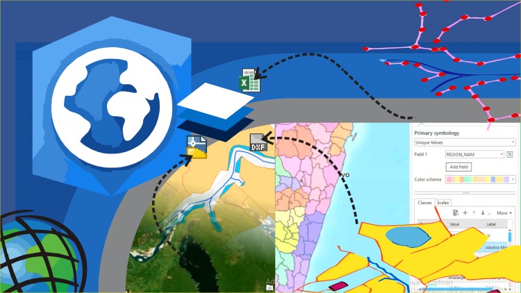
This course include, the basic of ArcGIS Pro; data edition, methods to selection of spatial data based in attributes and location and creation of bookmarks. Then, we include digitization of shapefiles, addition and digitizing layers, editing attribute and column attributes.
You will learnt to use symbology within features and labeling of points, lines and polygons. Includes buffer analyisis, import of Excel data and georeference of images.
To share data you will learn how to share data online and generate final maps.
Includes step by step excercises in the AulaGEO environment.
-
1Let´s start with the ArcGIS Pro
In this class you will see how to start with the program ArcGIS Pro, from zero.
-Starting ArcGIS Pro
-Login to ArcGIS Pro
-Project Creation
-Changing Base map
-Addition of Vector Data
-
2Data selection
Learn how to select data with different criterials
-
3Use bookmarks
In this lesson we will use the bookmark option:
-Creation of Bookmark
-Navigation using bookmark
-Delete Bookmark
-
4Import data from Excel
In this class you will import data from Excel to the map.
-Import CSV file in ArcGIS Pro to use as SHP file
-
5Symbology data
In this video you will learn how to add symbology to the spatial data according criterials.
-
6Editing of attribute data
In this class you will learn how:
-Editing attribute table
-Addition of data calculated from the geometry
-Edit data in different columns
-
7Labeling features
In this class you will learn:
Labeling of Features; polygons, lines an points, with the choices of rotation and size according the object.
-
8Digitization of geographic information
In this class you will learn how add and edit spatial data, addition of shapefiles to project and digitizing layers
-
9Georeferencing of images
In this class, you will learn how to take an image and georeference, define control points, define projection and georeference the image.
-
14Implications of the change from ArcMap to ArcGIS Pro
-
15Exercise 1. Import CAD data to GIS
Try the following exercise, importing data from a dwg file into ArcGIS Pro.
To work, you can use existing CAD files in dwg format 2019 and dxf 200 in the file "Datos CAD entrada.zip"
To see how the final result is, you can consult the file "Resultado importar cad a gis.rar"
-
16Exercise 2. Import coordinates from Excel for split a polygon
-
17Exercise 3. Calculation of areas and composition of calculated fields
Try to perform the following exercise, calculating the areas of the plots in square meters, hectares and forming a composite key from the centroid data.
To work, you can use the input layers available in the file "datos iniciales calculo de areas.rar"
To see how the final result is, you can consult the file "resultados finales calculo de areas.rar"
-
18Exercise 4. Buffer Analysis
Try to perform the following exercise, creating an area of influence (buffer) with the reference points established in the exercise.
To work, you can use the compressed file "data de articulo de buffer.rar"
-
19Exercise 5. Attribute labeling
-
20Exercise 6. Thematization by attributes
-
21Exercise 7. Digitization tricks
-
22Exercise 8. Gereferencing images


Social Network