ArcGIS Pro advanced
- Description
- Curriculum
- FAQ
- Reviews

Learn an advanced level of ArcGIS Pro.
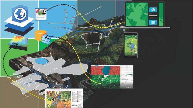
This course includes the advanced aspects of ArcGIS Pro;
-
Handling of satellite images (Imagery),
-
Spatial databases (Geodatabse),
-
Management of LiDAR point clouds,
-
Content publishing with ArcGIS Online,
-
Applications for mobile capture and visualization (Appstudio),
-
Creation of interactive contents (Story maps),
-
Creation of final contents (Layouts from .mxd and from scratch).
The course includes databases, layers and images used in the course to do what appears in the videos.
The entire course is applied in a single context according to the AulaGEO methodology.
The course includes a subtitled version.
-
1Working with satellite images
This section of the course shows how to work with satellite images using ArcGIS Pro.
-
2Creation and management of Geodatabases
Integration of spatial data in a geodatabase, adopting configurations for general application of the data layer.
-
3Working with point clouds - LiDAR
Visualization, filtering and processing of information from point clouds.
-
4Share content with ArcGIS Online
Creation of contents to be visualized via web.
-
5Interactive content - StoryMaps
Creation of interactive contents.
-
6Create applications - AppStudio for ArcGIS
Creation of applications for data capture and disposition using AppStudio
-
7Creation of Layout from a .mxd
Creation of an exit map (layout) from a project .mxd
-
8Create Layout from scratch in ArcGIS Pro
In this class a map is developed, including workspaces, symbology, north indicator, and everything that the box includes from scratch.


Social Network