An introduction to GIS and QGIS 3
- Description
- Curriculum
- FAQ
- Reviews

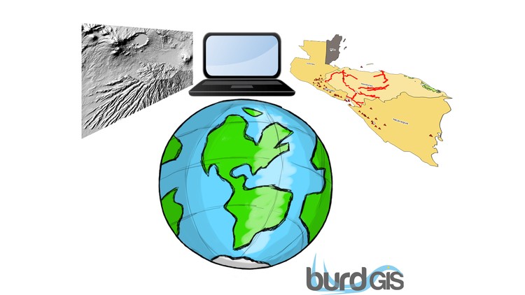
This course is a complete introduction to GIS and QGIS. Starting at the beginner level we’ll cover basic terminology and conventions, some of the fundamental principles of GIS, an overview of what QGIS is and then we’ll get started with practical experience of using QGIS. All sample data is original and provided for you.
The course will take around 2 hours to complete. It is a short course designed to get you started quickly. That said, playing around with the software is a great way to learn so don’t worry if it takes you longer. Explore the interface, ask questions, HAVE FUN!
The course is structured as a mixture of lectures, quizzes and we’ll end with a practical to put into practice all the knowledge you’ve gained. The practical element is crucial and by all means try some new things out with the software. Doing is learning!
Please note that we do have ssome theory to get through first. For many participants this might seem quite basic. For some it’s essential and I really want to make GIS accessible for all. Do let me know if you have any suggestions for improvements as like to keep the course as up to date as possible.
You should take this course if you need to learn the basics of QGIS quickly and if you’d like to sample QGIS before taking other courses. More advanced courses will be coming soon.
-
1Welcome and let's get started
This is the first lecture in the course. Here we'll get straight into the practical side of things and install QGIS 3.x
-
2Some terminology
In this short video we'll just go over some of the standard terminology for GIS programs and make sure everyone is on the same page when it comes to basic computer usage. This is a beginner course and for some students this can be really important. If you think you're okay with all this then you might be able to skip this video (shhhhh! don't tell anyone I said that :-) )
-
3Terminology and conventions
A quick quiz to keep you on your toes
-
4Data download
This section explains how to download and unzip the data for use in the GIS and QGIS practical sessions.
-
5GIS concepts
Here we'll look at some basic GIS concepts. The differences between rasters and vectors, properties and values, and the ways we can use GIS for analysis.
-
6GIS concepts
Let's have a quick quiz on some fundamental GIS concepts


Social Network